£300.00
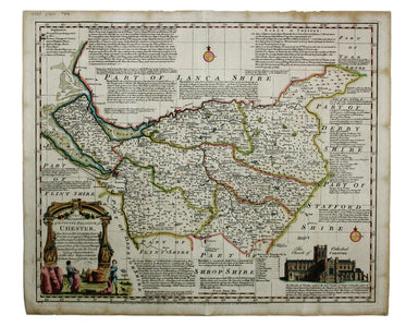
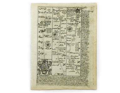
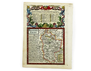
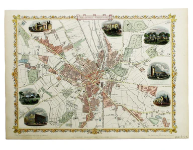
Bowen & Kitchin’s Map of Cheshire
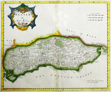
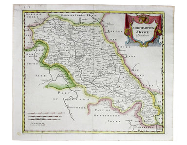
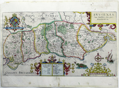
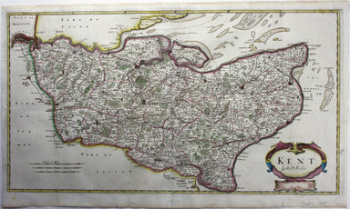
An Accurate Map of the County Palatine of Chester […] Condition & Materials Copper engraving, 41.5 x 50.5 cm, map of Cheshire with original han...
View full details